Colloque annuel de la SEAA 17-18
Dates : 15 et 16 janvier 2021
En ligne
Le colloque 2021 de la SEAA 17-18 a eu lieu intégralement en ligne du fait des conditions sanitaires.
Le programme est aussi disponible en version PDF ici.
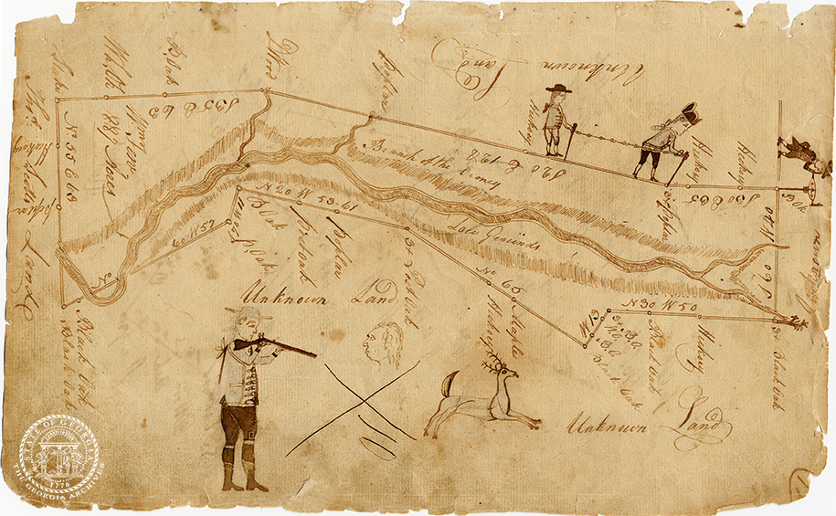
Maps and Mapping in English-speaking Countries in the 17th and 18thCenturies
Annual Conference of the SEAA 17-18
January 15, 2021
8h45-9h: Welcome address by Pierre Lurbe (President of the SEAA 17-18), Carine Lounissi (Université de Rouen-Normandie), Emmanuelle Peraldo (Université Côte d’Azur) and Agnès Trouillet (Université Paris Nanterre).
Session 1 – 9h-10h45: Maps in the Texts / Texts in the Maps
Chair: Lynn Meskill (Université de Paris)
9h-9h20: Chloe Fairbanks (University of Oxford)
‘Of euery soyle within this kingdome’: Mapping the Nation on the Early Modern Stage
9h20- 9h40: Louise McCarthy, Ladan Niayesh (Université de Paris)
Cartography as Propagandist Design: From Company Maps to Prince Henry’s Virginian Masques (1613-14)
9h40-10h: Julien Nègre (ENS de Lyon)
“Writing (on) the Line: Map and Text in William Byrd’s Histories of the Dividing Line (1728)”
10h-10h20: Amélie Derome (Aix-Marseille Université)
Representation of imaginary lands in French translations of Gulliver’s Travels: Wiping Charts off the Map.
10h20-10h45: Discussion
10h45-11h: coffee break
Session 2 – 11h-12h25: The Production and Circulation of Maps
Chair: Katherine Parker (University of London)
11h-11h20: Djoeke van Netten (University of Amsterdam)
Sea-Mirrors. How Seventeenth-Century English Pilot Guides Show what Maps were and how they were Used
11h20-11h40: Isabella Jean Alexander (University of Technology, Sydney)
Maps before Copyright
11h40-12h: Benedicte Miyamoto (Université Sorbonne Nouvelle – Paris 3)
Color-coded Manuscript Maps in the Military Enlightenment: The Circulation of Map-mindedness.
12h-12h25: Discussion
12h25-14h: lunch
[12h45-13h45: Ph.D. candidates meeting coordinated by Juliette Misset]
Session 3 – 14h-15h55: Maps as Narratives
Chair: Ariane Fennetaux (Université de Paris)
14h-14h20: Manon Turban (Université de Paris)
Monsters on Early Modern Maps
14h20-14h40: Alex Zukas (National University, San Diego)
Cartography and Narrative in the Maps of Herman Moll’s The World Described.
14h40-15h: Bertie Mandelblatt (John Carter Brown Library – Providence, Rhode Island)
“Mapping Sovereignty with Open Borders: the Social Worlds of Adlum’s 1792 Pennsylvania Map”
15h-15h20: Kimberly Sayre Alexander (University of New Hampshire)
Silk Roads: Mapping Post-Revolutionary Boston at Mrs. Rowson’s (1762 –1824) Young Ladies Academy
15h20-15h55: Discussion
15h55-16h10: coffee break
16h10-17h30: Keynote Lecture: Max Edelson (University of Virginia)
“The Search for Cofitachequi: Imagining the Interior of Southeastern North America, 1500-1725”
Chair: Agnès Trouillet (Université Paris Nanterre)
January 16, 2021
9h-11h30: Annual Meeting of the SEAA 17-18
11h30-11h45: coffee break
11h45-12h45: Plenary Lecture: Katherine Parker (University of London)
“The Ship, the Map, the Chart, and the Book: the Role of the Royal Navy in the Publication of Pacific Geographic Knowledge in the Long-Eighteenth Century”
Chair: Jim Bennett (Hakluyt Society)
12h45-14h: Book Club Brunch
Session 4 – 14h-15h55: Surveying the Empire
Chair: Stephen Hornsby (University of Maine)
14h-14h20: Kristofer Ray (University of Hull)
Native Cartography and the Limits of European Empire in 18th Century North America
14h20-14h40: Michael Borsk (Queen’s University, Kingston, Ontario)
“Little Better than Sketches”: Surveyors and Cartography in the Great Lakes Borderland
14h40-15h00: Baijayanti Chatterjee (Seth Anandram Jaipuria College, Calcutta University)
Founding Empire: James Rennell and the Eighteenth-Century Survey of British Bengal
15h-15h20: Catherine Porter (University of Limerick)
How Early Maps of Ireland were Made: an Exploration of the Bodley Maps of Ulster
15h20-15h55: Discussion
15h55-16h10: coffee break
16h10-17h30: Roundtable: Maps and Digital Mapping
Moderators: Robert Clark (University of East Anglia) and Agnès Delahaye (Université Lumière Lyon 2)
Giovanna Ceserani (Stanford University): Mapping the Republic of Letters: Travelers on the Grand Tour
Nick Gliserman (University of Southern California): Early Maps as Sources of Geohistorical Data: The Case of the 1760 Murray Atlas
Angel-Luke O’Donnell (King’s College London): Mapping Mortgages: Researching and Teaching Early American Industrialization
Sophie Vasset (Université de Paris): Mapping Spas in Eighteenth-century Britain
Rosemarie Zaggari (George Mason University): Mapping Early American Elections